Drones have evolved into intelligent systems that can do much more than simply follow pre-programmed flight paths. They are now used to carry out complex tasks with greater speed, accuracy, and efficiency, helping organisations improve operations, enhance safety, and make better-informed decisions.
AI in drones is at the heart of this transformation, enabling capabilities such as autonomous navigation, real-time data analysis, obstacle avoidance, and intelligent decision-making. In this article, we’ll explore how this technology works, its benefits, key applications, the technologies behind it, the challenges it faces, and what the future holds.
According to Fortune Business Insights, The global AI in drone market was valued at approximately USD 17.8 billion in 2025 and is projected to reach USD 61.6 billion by 2034, growing at a CAGR of 17.3%.
AI in Drones:
AI in drones refers to the use of artificial intelligence to enable drones to perform tasks with greater autonomy, intelligence, and efficiency. Instead of relying entirely on manual control or fixed flight instructions, AI allows drones to analyse their surroundings, process data in real time, adapt to changing conditions, and make informed decisions during flight.
By combining advanced technologies such as computer vision, machine learning, onboard sensors, GPS, and edge computing, AI-powered drones can carry out complex operations with minimal human intervention. These capabilities allow drones to navigate dynamic environments, avoid obstacles, identify objects, optimise flight paths, and analyse data as missions are taking place.
Some of the key capabilities enabled by AI include:
- Autonomous navigation and obstacle avoidance
- Object and asset recognition
- Real-time aerial data analysis
- Intelligent route planning
- Infrastructure inspection and defect detection
- Safe operation in changing environments
Rather than simply collecting aerial data, modern drones can interpret the information they capture and provide actionable insights almost instantly. As a result, organisations are able to make faster, more informed decisions while improving operational efficiency, accuracy, and safety.
How Does Artificial Intelligence Work in Drones?
Artificial intelligence enables drones to perform tasks by collecting, processing, and analysing data in real time. Rather than simply following a predefined route, AI allows drones to understand their surroundings, respond to changing conditions, and make decisions during flight with minimal human input.
Here’s how the process works:
1. Data Collection
Every mission begins with data collection. Drones use a combination of onboard technologies such as cameras, GPS, LiDAR, thermal sensors, radar, and inertial measurement units (IMUs) to capture information about their surroundings. This provides the data needed to navigate safely and complete specific tasks.
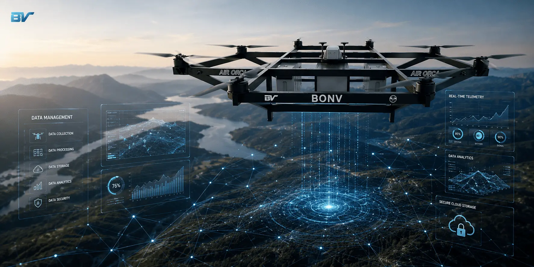
2. Data Processing
The collected data is then processed using AI algorithms. Depending on the drone and its capabilities, this processing can take place onboard through edge computing or be sent to a cloud platform for further analysis. Processing data in real time enables faster responses and reduces the need for manual intervention.
3. Computer Vision
Computer vision allows drones to interpret visual information captured by their cameras. It helps identify and classify objects, recognise patterns, detect defects, and understand the surrounding environment. This capability is widely used for infrastructure inspections, asset monitoring, mapping, and surveillance.
4. Machine Learning
Machine learning enables drones to improve their performance by learning from historical and real-time data. By processing more information, the system becomes more capable of identifying objects, identifying anomalies, optimizing flight paths, and improving overall accuracy.
5. Autonomous Decision-Making
Based on the analysed data, AI enables drones to make intelligent decisions during flight. For example, a drone can adjust its route to avoid obstacles, maintain a safe distance from structures, change altitude when required, or automatically return to its launch point if it detects low battery levels or adverse weather conditions.
6. Real-Time Insights
Beyond navigation, AI helps transform raw aerial data into actionable insights. Whether detecting equipment faults, monitoring site progress, or identifying potential risks, drones can provide instant information that supports faster and more informed decision-making.
Benefits of AI-Powered Drones
1. Enables Autonomous Flight and Navigation
AI allows drones to navigate with minimal human input by analysing their surroundings, planning optimal flight paths, and responding to obstacles in real time. This improves operational efficiency while reducing reliance on manual control.
2. Enhances Real-Time Decision-Making
Artificial intelligence enables drones to detect changes, detect potential issues, and respond immediately to them during flight.This helps operators make informed decisions without waiting for post-flight analysis.
3. Improves Accuracy and Precision
AI enhances the quality of drone operations by analysing images and sensor data with greater precision. Whether identifying structural defects, monitoring assets, or detecting anomalies, AI helps deliver more reliable and consistent results.
4. Strengthens Safety During Operations
AI improves flight safety through capabilities such as obstacle detection, collision avoidance, and intelligent route adjustments. Additionally, drones can perform tasks in hazardous environments, reducing human exposure to risk.
5. Increases Operational Efficiency
By automating repetitive tasks such as flight planning, navigation, and data analysis, AI helps drones complete missions faster while reducing manual effort and improving overall productivity.
6. Delivers Actionable Insights from Data
Instead of simply collecting aerial data, AI enables drones to interpret information, identify patterns, and generate meaningful insights. This allows organisations to make faster, data-driven decisions.
7. Reduces Operational Costs
AI helps optimise drone operations by minimising manual inspections, improving resource utilisation, and detecting issues early. This leads to lower operational costs and more efficient use of time and resources.
8. Supports Scalable Drone Operations
AI simplifies the management of complex drone missions by automating workflows and maintaining consistent performance. This makes it easier to deploy drones across multiple sites or large-scale operations.
9. Continuously Improves Performance
Through machine learning, AI systems can learn from previous flights and operational data. This continuous improvement enhances navigation, object recognition, and overall mission performance over time.
Top AI Drone Applications Across Industries
1. Infrastructure Inspection
AI-enabled drones are widely used to inspect critical infrastructure such as bridges, power lines, wind turbines, solar farms, pipelines, and telecommunications towers. They can automatically identify defects such as cracks, corrosion, or damaged components, helping organisations detect issues early, reduce downtime, and improve maintenance planning.
2. Construction and Engineering
Drones equipped with AI are used for site surveying, progress tracking, asset monitoring, and safety inspections in the construction industry. By comparing real-time site data with project plans, they help project teams monitor progress, identify potential delays, and improve overall project management.
3. Precision Agriculture
Farmers use AI-driven drones to monitor crop health, assess field conditions, identify pest infestations, and optimise irrigation. By analysing multispectral and thermal imagery, drones provide valuable insights that support precision farming, improve crop yields, and reduce the unnecessary use of water, fertilisers, and pesticides.
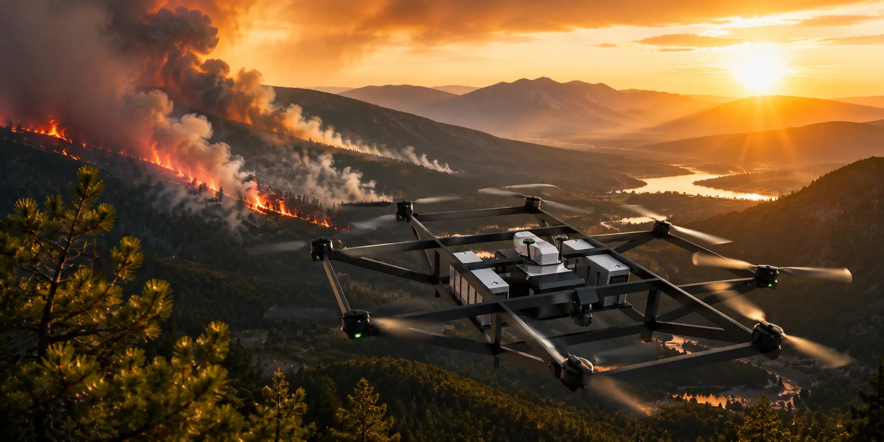
4. Public Safety and Emergency Response
Emergency services increasingly rely on drones as first responders, using AI-powered UAVs to support search and rescue missions, disaster response, firefighting, and law enforcement operations. Their ability to analyse live aerial data, detect people or hazards, and navigate difficult environments enables faster responses during critical situations.
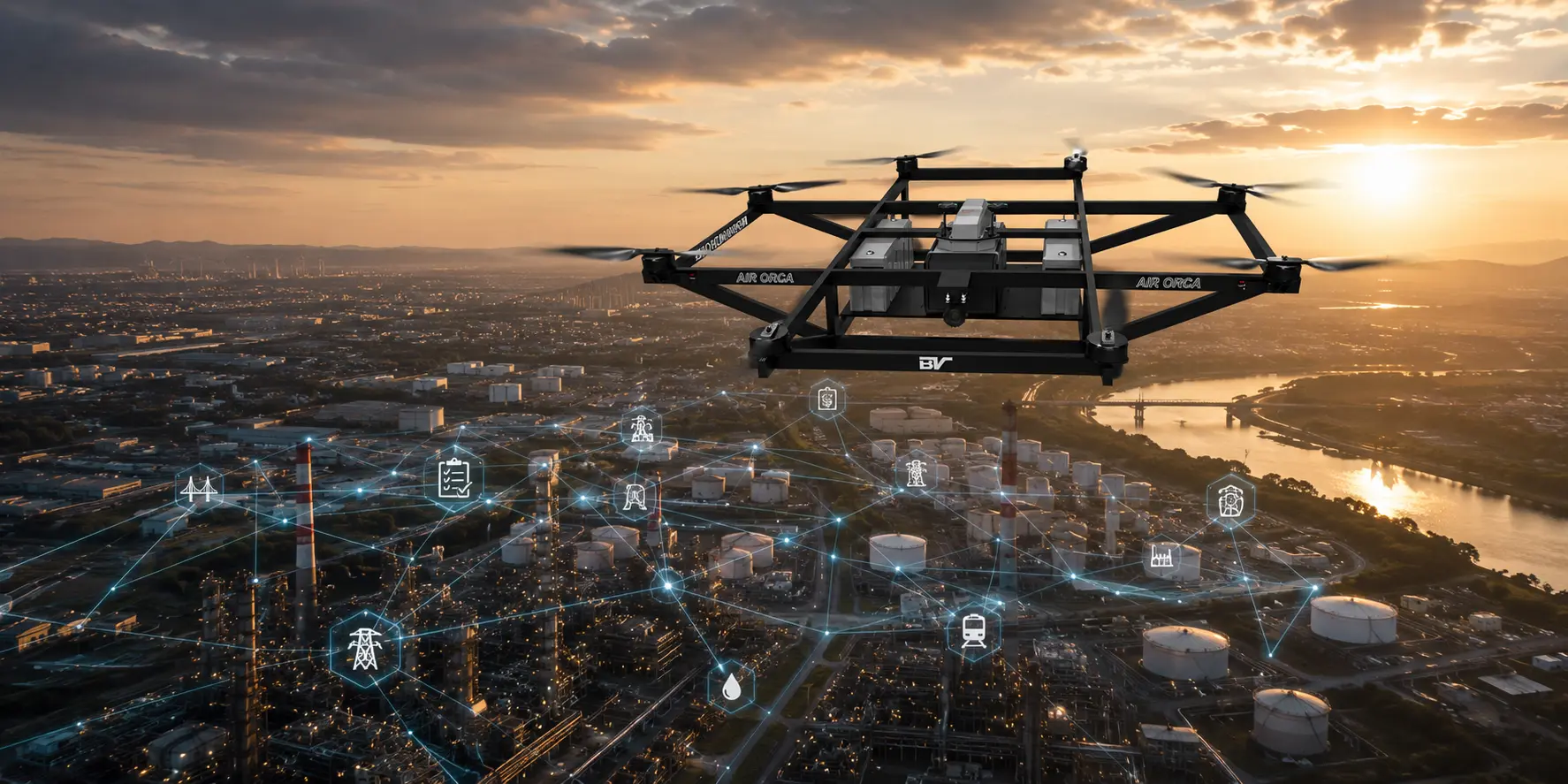
5. Energy and Utilities
Utility companies rely on AI-enabled drones to inspect electrical transmission lines, substations, oil and gas facilities, and renewable energy assets. Automated inspections help identify maintenance issues before they lead to failures, improving asset reliability while reducing the need for manual inspections.
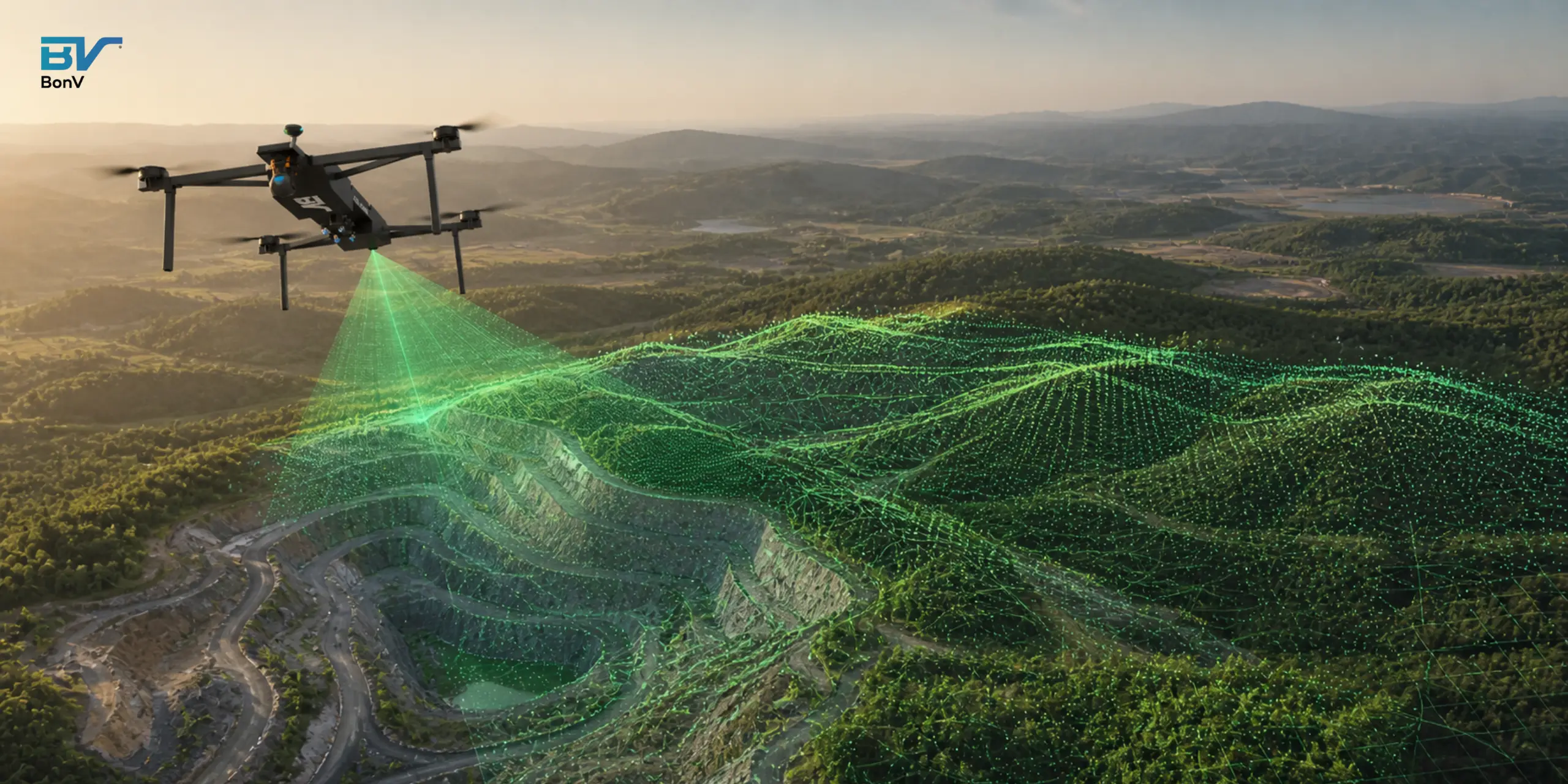
6. Mining and Quarrying
Mining operations use intelligent drones for site mapping, stockpile measurements, equipment inspections, and environmental monitoring. AI helps process aerial data quickly, enabling mining companies to improve operational planning, enhance worker safety, and optimise resource management.
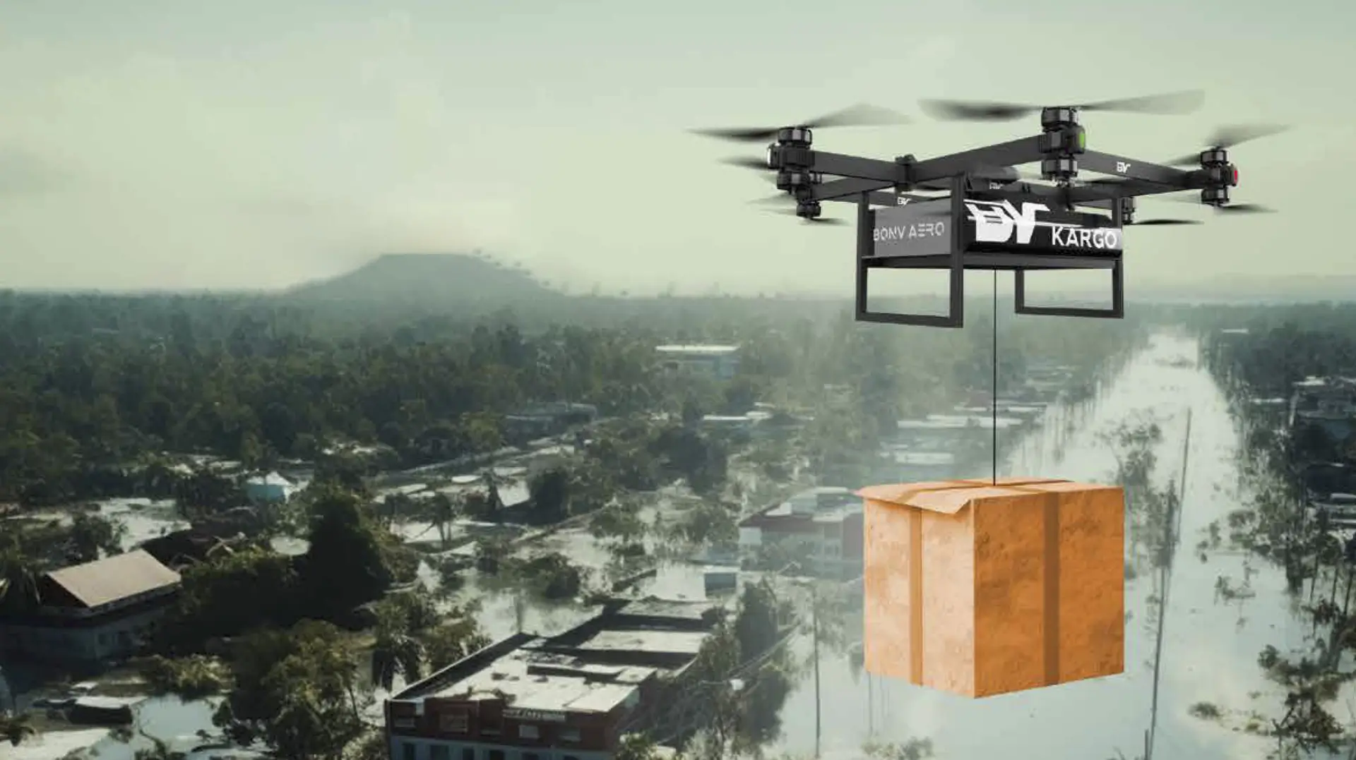
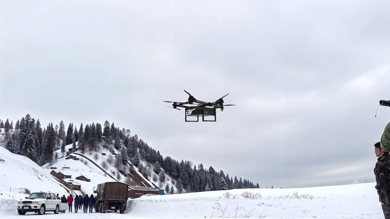
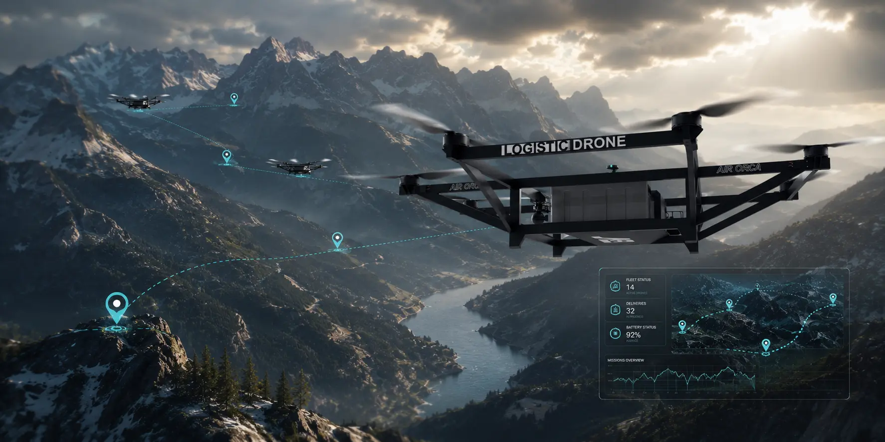
7. Logistics and Delivery
AI is playing an important role in autonomous delivery services by enabling drones to plan efficient routes, avoid obstacles, and navigate safely to delivery locations. As drone delivery technology continues to evolve, AI will help improve the speed, accuracy, and reliability of last-mile logistics.
8. Environmental Monitoring
Government agencies, researchers, and environmental organisations use AI drones to monitor forests, wildlife, coastal regions, and water bodies. They can detect environmental changes, track wildlife populations, identify illegal activities such as deforestation, and support conservation efforts with accurate, real-time data.
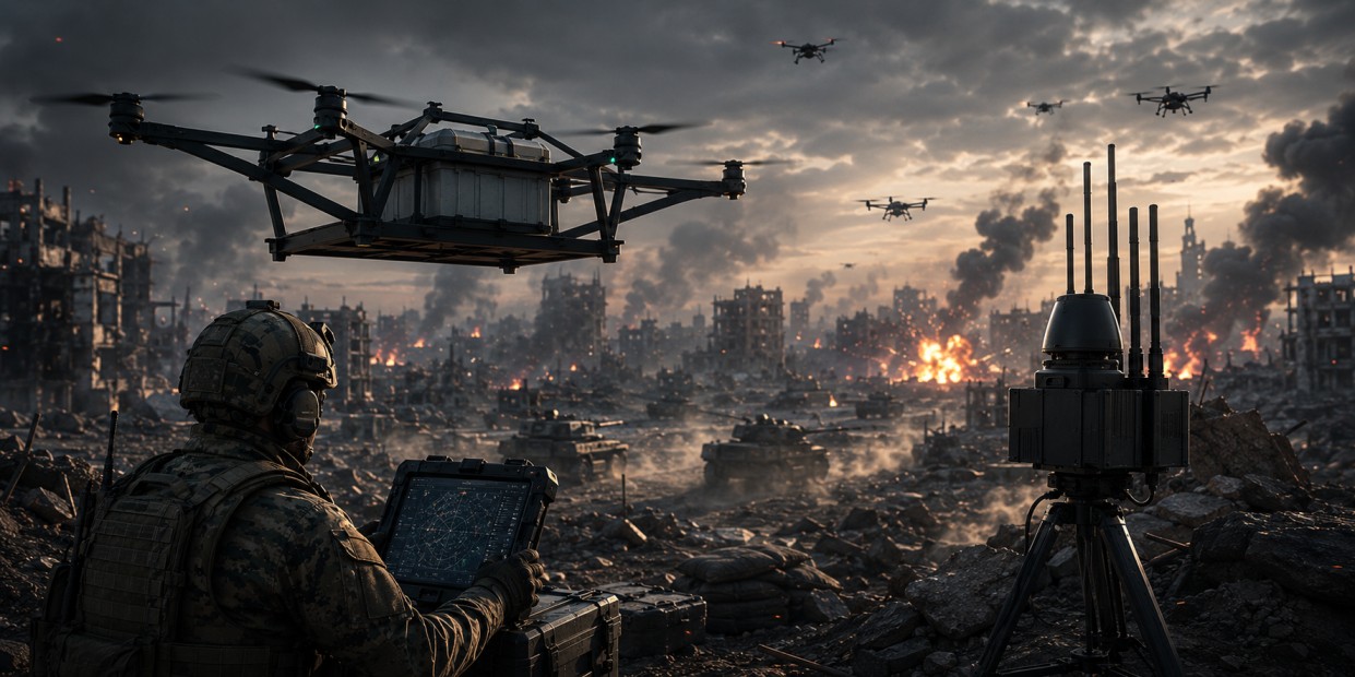
9. Defence and Security
Defence and security organisations use AI-enabled drones for surveillance, reconnaissance, border monitoring, and threat detection. Intelligent capabilities such as object recognition, target tracking, and autonomous navigation improve situational awareness while reducing risks to personnel.
10. Urban Planning and Smart Cities
AI drones are increasingly supporting urban development by capturing aerial data for city planning, traffic analysis, infrastructure management, and environmental assessments. The insights they provide help authorities make informed decisions and support the development of smarter, more sustainable cities.
Real-World Examples of AI-Powered Drones
1. Skydio Autonomous Drone Inspections
Skydio uses AI and computer vision to enable drones to navigate complex environments, avoid obstacles, and perform autonomous inspections. Its technology is widely used for infrastructure inspections, construction, public safety, and asset monitoring.
2. Zipline AI-Driven Medical Deliveries
Zipline leverages AI to optimise drone deliveries of blood, vaccines, medicines, and other medical supplies. Its autonomous delivery network helps improve healthcare access, particularly in remote and underserved regions.
3. Shield AI Autonomous Defence Operations
Shield AI develops AI-powered drones for defence and security missions. Its autonomous systems can operate in GPS-denied environments, supporting reconnaissance, surveillance, and other high-risk operations with minimal human intervention.
4. Flytrex Intelligent Drone Delivery
Flytrex uses AI to automate last-mile deliveries through intelligent route planning, autonomous navigation, and real-time flight management. Its drone delivery platform is helping businesses improve delivery speed and operational efficiency.
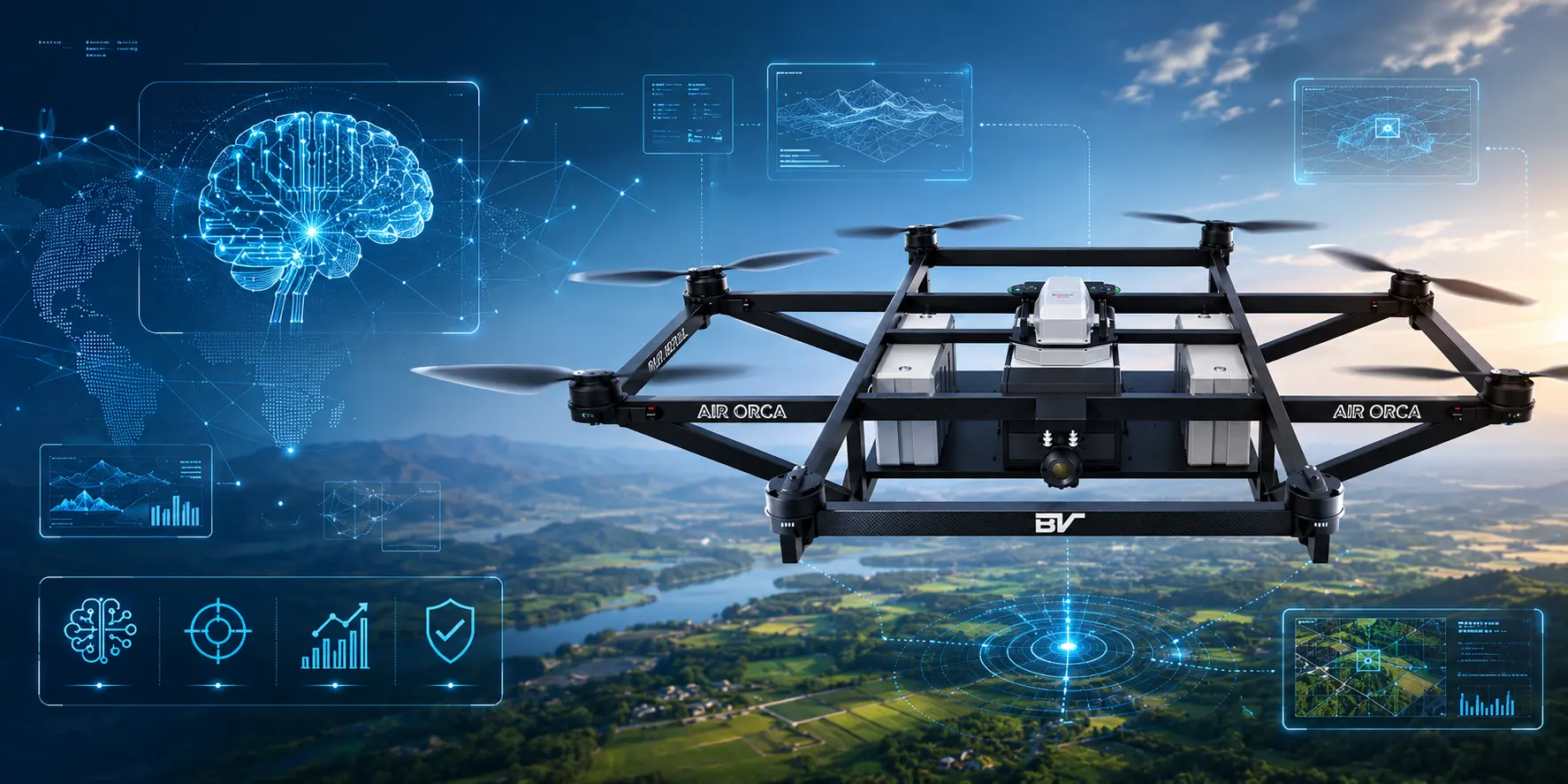
Key Technologies Behind AI-Powered Drones
- AI Processors and Edge Computing: Onboard AI processors analyse data in real time, enabling drones to make instant decisions without relying entirely on cloud connectivity.
- Advanced Sensors: Technologies such as RGB and thermal cameras, LiDAR, radar, GPS, and IMUs help drones navigate, detect obstacles, and collect accurate environmental data.
- Computer Vision: Computer vision allows drones to recognise objects, detect defects, monitor assets, and interpret their surroundings using visual data.
- Machine Learning and Deep Learning: These AI models enable drones to identify patterns, improve accuracy, and make more intelligent decisions based on collected data.
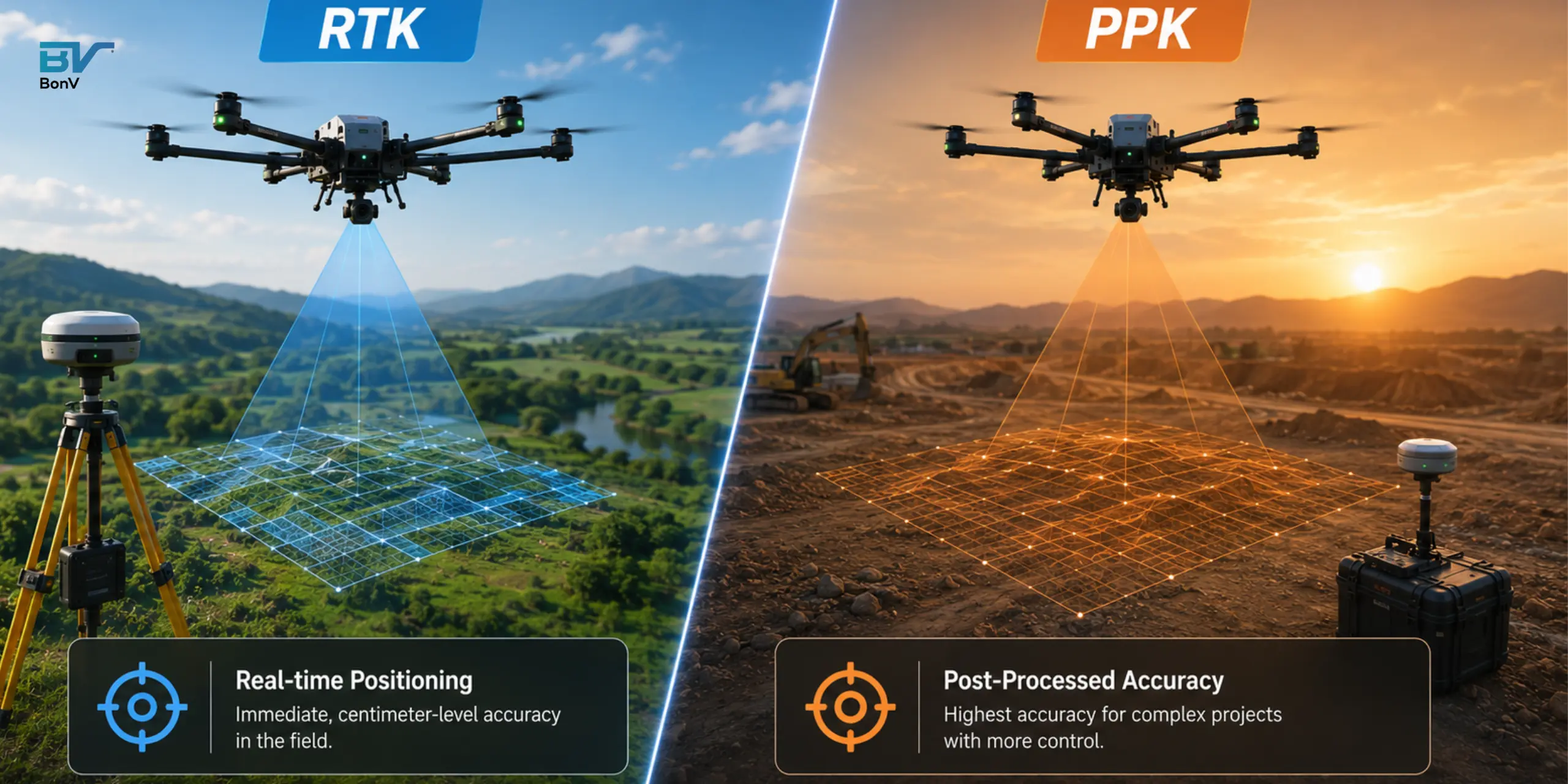
- GPS, GNSS and RTK Positioning: High-precision positioning technologies provide accurate navigation, flight stability, and centimetre-level accuracy for mapping and surveying.
- LiDAR Technology: LiDAR creates detailed 3D maps by using laser pulses, making it ideal for terrain mapping, infrastructure inspections, and navigation in complex environments.
- SLAM (Simultaneous Localisation and Mapping): SLAM enables drones to map unfamiliar environments while determining their location, allowing safe operation in GPS-denied areas.
- Cloud Connectivity: Cloud platforms support remote fleet management and drone data management, enabling centralised storage, analytics, and seamless sharing of mission data.
- Swarm Intelligence: Swarm technology enables multiple drones to communicate and work together, improving efficiency for large-scale inspections, monitoring, and emergency response.
Challenges of AI in Drone Technology
1. Regulatory Compliance
Drone regulations vary across regions and continue to evolve. Organisations must comply with airspace, safety, and privacy requirements before deploying AI-enabled drones.
2. Data Privacy and Cybersecurity
AI drones collect significant amounts of data, making them vulnerable to cybersecurity risks such as unauthorised access, GPS spoofing, and signal interference. Strong security measures are essential to protect sensitive information.
3. Battery Limitations
AI-powered features consume considerable processing power, which can reduce flight time. Battery life remains a key challenge, particularly for long-duration and complex missions.
4. High Implementation Costs
Deploying AI-enabled drone systems requires investment in advanced hardware, software, sensors, and skilled operators, which can increase the overall cost of adoption.
5. Data Accuracy
AI systems rely on high-quality data to perform accurately. Inaccurate or insufficient data can impact object detection, navigation, and overall mission performance.
6. Environmental Challenges
Adverse weather, poor visibility, and GPS-denied environments can affect drone performance, limiting the effectiveness of AI during certain operations.
7. Ethical AI
AI decision-making must remain transparent, explainable, and compliant with evolving regulations to ensure responsible deployment.
The Future of AI in Drones
AI is transforming drones into intelligent systems capable of delivering greater autonomy, accuracy, and efficiency across a wide range of applications. As the technology continues to evolve, it will unlock new opportunities for innovation, helping organisations improve operations, enhance safety, and make smarter decisions.
At BonV Aero, we are a drone manufacturing company building intelligent UAV solutions that combine advanced engineering with AI-driven capabilities to support defence, logistics, infrastructure, and emerging commercial applications. As AI continues to redefine aerial operations, we remain committed to delivering innovative, reliable, and mission-ready drone technologies.

Rahul Kumar is Co-Founder of BonV Aero and an aeronautical engineer with deep expertise in design, simulation, and product development. A serial entrepreneur and mentor, he leads innovation in lightweight, efficient eVTOL structures.